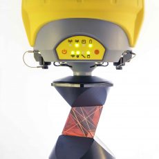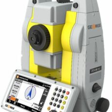

Description
X-PAD Survey field software allows you to manage GNSS and Total Station survey and stakeout, with all the topographic and cadastral functions that you need for maximum productivity in the field. X-PAD Office features and innovative automatic drawing system by feature codes, allowing users to see the survey drawing composing point after point without requiring long and complex coding. With high contrast icons, large characters, auto-hiding zoom buttons and easy to follow user interface, X-PAD Survey is the ideal partner to capture and access data quickly and efficiently.
A sustainable… field software
No more small characters, colored and hardly visible icons, buttons to hit in very small spaces, and tiny keyboards. With X-PAD, you can do everything with a single touch of your finger. Reading is guaranteed due to large characters and high contrast icons. So simple to use you will think you are using your favourite smartphone.
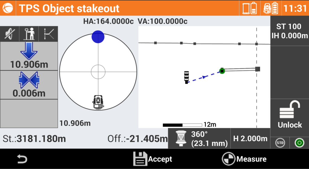
Stakeout with eyes closed
With X-PAD, stakeout has never been easier or faster. Voice guidance allows you to arrive at the point without even looking at the display, while the large compass simplifies visual navigation. Next indication, reference north or the sun directs you to the precise point without hesitation allowing you to stakeout the design rapidly.There is no need to prepare the points list for staking out in X.PAD as
you can stakeout directly from the imported CAD drawing. Every drawing element can be staked out. What’s the nearest point? X.PAD will tell you!
CAD you were missing
With optimised layout and smart functionality that works in the field, X-PAD is a field CAD software designed for compact handheld devices. X-PAD gets the most from the available display space with innovative auto-hiding zoom buttons, automatic control avoiding the overlapping of points labels, and contextual functions basing on the selected object. With X-PAD, your notebook can remain in the office.
COGO
Every software have COGO commands, but not all of them are practical like those in X.PAD. With the strength of the intelligent CAD system, complex figures including building site drawings can be easily created and modified in the field. You can do parcel subdivisions on the fly and calculate crossing points of the lines to stake them out immediately. The office has now truly arrived in the field!